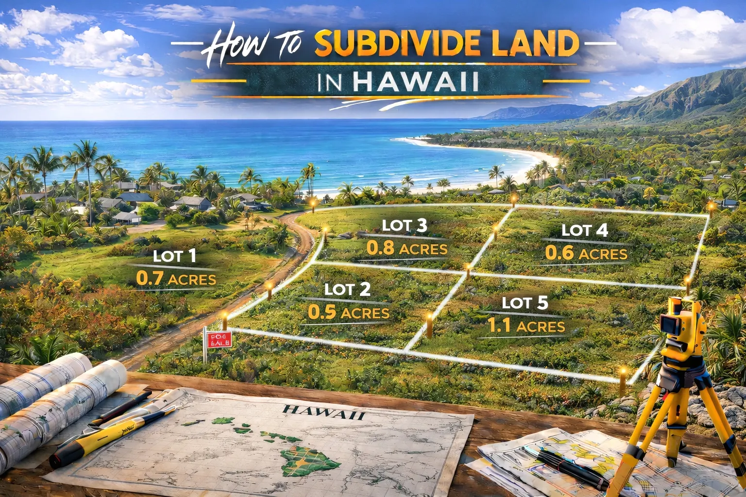
How to Subdivide Land in Hawaii: A Guide to Island Property Splits
Overview: Subdividing land in Hawaii operates under a dual entitlement system. You must navigate strict regulations from both the State Land Use Commission and your specific county planning department.
Key Points:
- State vs. County Zoning: The state classifies all land into four main districts, while local counties enforce specific setbacks, building codes, and minimum lot sizes.
- Agricultural Restrictions: Agricultural land development is heavily scrutinized. Many counties require approved farm plans and mandate that a majority of the lot remains in active farming use.
- Topography and History: Developments must account for difficult terrain, lava zones, water catchment needs, and mandatory archaeological reviews to protect cultural sites.
- Substantial Holding Costs: The subdivision process requires significant upfront capital for specialized surveying, civil engineering, soil testing, and utility infrastructure improvements.
Alternative Route: If the steep engineering costs and years of county reviews feel overwhelming, many owners opt for a faster exit. You can sell your Hawaii land directly for cash and skip the development headaches entirely.
Hawaiian real estate holds incredible value and offers unique beauty. Unlocking that value often involves subdividing large parcels into smaller, more manageable lots. This guide provides a clear roadmap for navigating the Hawaiian subdivision process, ensuring you understand the legal requirements, costs, and timelines involved.
My name is Bubba Peek. I hold a Master of Science in Real Estate (MSRE) from the University of Florida and I am a Certified Commercial Investment Member (CCIM) designee. As the founder of Bubba Land Company, I specialize in land valuation, market analysis, and simplified land divestment. I created this guide to establish clear expectations for landowners considering a subdivision project in Hawaii. My goal is to equip you with authoritative, practical knowledge so you can make the best financial decision for your property.
Understanding Hawaii Land Zoning and Classifications
Hawaii utilizes a highly centralized land use entitlement system involving both state and local governments. You must clearly understand how your property is classified at both levels before drafting plans or hiring surveyors.
The Four State Land Use Districts
The State Land Use Commission places all land in Hawaii into one of four overarching categories.
- Urban District: This encompasses cities and towns. It is the easiest classification to subdivide for residential or commercial use. The counties handle the regulation of Urban land directly.
- Rural District: These areas consist of small farms intermixed with low density residential lots. The minimum lot size dictated by the state is usually one half acre.
- Agricultural District: This is the largest land classification in Hawaii. Subdividing Agricultural parcels over 15 acres requires state level approval in addition to county approval.
- Conservation District: These lands comprise forest and water reserve zones, national parks, and mountainous terrain. The Department of Land and Natural Resources governs these areas. Conservation land is heavily restricted and typically prohibits subdivision entirely.
County Level Zoning Regulations
Individual counties manage specific zoning rules within the state boundaries. The major counties include Honolulu, Maui, Hawaii County, and Kauai. You must consult your specific county planning department for localized setback, road, and density requirements.
For example, Hawaii County processes subdivision and consolidation applications electronically through their EPIC system. You can review current submission protocols directly through the Hawaii County planning department. Maui County has its own specific MAPPS system for processing. These county laws dictate your minimum lot size, allowable land use, and the exact paperwork required to begin the subdivision process.
The Financial and Practical Benefits of Subdividing
Increasing Overall Property Value
Partitioning a large acreage into smaller parcels often yields a higher price per acre. Buyers looking for manageable residential lots or small hobby farms are willing to pay a premium for appropriately sized land. Breaking down a massive tract opens your buyer pool to individuals who can easily finance a two acre lot.
Meeting Market Demand
There is consistent demand for residential and agricultural plots across the Hawaiian islands. Inventory is notoriously low. Subdividing allows you to supply inventory to a market hungry for accessible land, making your asset highly liquid once the subdivision is complete.
Step by Step: The Hawaii Land Subdivision Process
Phase 1: Conduct a Feasibility Study
Hire a licensed Hawaii land surveyor and a specialized land use attorney to evaluate the property. Review current Title Reports to identify any existing deed restrictions or easements that could halt your project. Verify that your land actually meets the minimum lot size requirements for your specific zoning designation before spending money on formal applications.
Phase 2: The Preliminary Subdivision Application
Submit the preliminary plat map and required filing fees to your local county development services administration. The preliminary plat must be stamped by a Hawaii licensed land surveyor. Expect a mandatory 45 day initial county review period once your application is deemed complete. You can review the exact Maui County subdivision guidelines for a detailed breakdown of these early requirements.
Phase 3: Committee Review and Agency Feedback
Your application will undergo intensive reviews from multiple agencies. Prepare to receive feedback and mandatory requirements from the Department of Public Works, Board of Water Supply, the State Department of Health, and the local Fire Department. If your property is on a state highway, the State Department of Transportation will also review your ingress and egress plans.
Phase 4: Construction Plans and Infrastructure
Submit detailed engineering plans for all required infrastructure. Secure approvals for paved roads, drainage systems, water access, and electrical utilities before moving forward. The county will only approve the final subdivision after these improvements are physically constructed or you provide a substantial bond guaranteeing their completion.
Phase 5: Final Plat Approval and Recordation
Obtain the final signature from the Director of Public Works once all infrastructure meets county standards. Record the newly created lots with the Bureau of Conveyances or the State Land Court to finalize the legal boundaries. The county tax assessor will then assign new Tax Map Key (TMK) numbers to your newly created parcels, allowing them to be sold independently.
Special Rules for Agricultural Land in Hawaii
The Minimum Agricultural Use Requirement
Many counties mandate that at least 51 percent of an agricultural lot remain in active agricultural use. Document your agricultural intentions clearly to comply with zoning laws. This rule prevents developers from buying agricultural land strictly for residential housing tracts.
Ohana Dwellings and Farm Plans
Hawaii enforces strict regulations regarding secondary homes, known locally as Ohana dwellings. Additional dwellings on agricultural land typically require an approved farm plan demonstrating clear agricultural necessity. Ensure your plans align strictly with county definitions of a farm dwelling if you are subdividing to create multiple residential homesteads.
Dedicated Cost Section: Major Expenses and Timelines to Expect
Application and Professional Fees
Budget carefully for county filing fees, surveyor costs, and legal representation. County application fees vary by island. Hawaii County charges a base fee of $250 plus $25 per resulting lot. Maui County charges $250 plus $50 per lot for subdivisions of five lots or less.
Surveying in Hawaii is considerably more expensive than on the mainland due to terrain challenges and dense vegetation. Expect to pay between $500 and $1,000 per acre for boundary surveys and topography mapping. A ten acre survey will routinely cost between $3,000 and $6,000.
Infrastructure Improvement Costs
Installing paved roads, underground utilities, and proper drainage requires substantial capital. You may encounter Special Subdivision Power Provision (SSPP) fees if your property requires a cost share charge to establish electrical poles through the Hawaiian Electric Light Company (HELCO). These fees alone range from $2,000 to over $4,000 per lot depending on the location. Water meters are another major expense. In areas where county water meters are unavailable, you must engineer state approved water catchment systems.
Estimated Subdivision Expense Breakdown
Here is an itemized estimate for a standard two lot subdivision on a ten acre agricultural parcel in Hawaii. Actual costs will vary dramatically based on your island, terrain complexity, and specific county infrastructure mandates.
- Land Surveying and Topography: $3,000 to $6,000
- County Application and Review Fees: $250 to $500
- Civil Engineering and Construction Plans: $5,000 to $12,000
- Legal Representation and Title Work: $2,000 to $4,000
- Environmental and Cultural Assessments: $3,000 to $7,000
- Infrastructure (Roads, Drainage, Utility Hookups, SSPP Fees): $15,000 to $60,000+
- Total Estimated Cost: $28,250 to $89,500+
Realistic Timeframes
The full subdivision process in Hawaii takes many months or even years to complete. Simple subdivisions taking less than a year are extremely rare. Agency reviews, infrastructure construction, archaeological studies, and final plat recordation require significant patience and holding costs.
Navigating Common Subdivision Requirements Successfully
Environmental and Cultural Assessments
Protecting historical Hawaiian cultural sites and delicate ecosystems during development is mandatory. Environmental impact studies and archaeological reviews ordered by the State Historic Preservation Division (SHPD) are standard requirements for raw land development in Hawaii. Discovering burial sites or historical artifacts on your land will immediately halt development and force major redesigns of your subdivision plat.
Topography and Slope Challenges
Steep slopes dictate lot configuration, access road placement, and drainage solutions. Hire experienced civil engineers to design grading plans that meet county codes and prevent soil erosion. On the Big Island, you must also account for Lava Zones. Properties in Lava Zones 1 and 2 face extreme development restrictions, making affordable hazard insurance for future buyers incredibly difficult to secure.
Managing Water Rights and Catchment Systems
Water access is a critical hurdle for Hawaiian land development. Many rural areas lack access to municipal water lines. Prove to the county health department that the property can support an adequate rainwater catchment system or a private well in these instances. Securing well permits involves separate state approvals and adds significant expense to your development budget.
A Streamlined Alternative: Selling Your Hawaiian Land for Cash
Subdividing land requires massive upfront capital, navigating complex legal hurdles, and waiting years for a return on investment. A direct cash sale provides immediate liquidity and a simplified divestment process for landowners who want to bypass the county planning departments.
Bubba Land Company buys vacant rural acreage, hunting land, timberland, and inherited properties nationwide for cash in “as is” condition. We provide a seamless, hassle free cash sale for landowners looking to step away from complex development projects. You skip the surveyor fees, county planning meetings, environmental studies, and massive infrastructure costs. Reach out today to get started and sell your land fast in Hawaii to a trusted buyer.
